NYS Wetlands Act
Learn more about the potential implications of this legislation that goes into effect in January.
Take Action!
Keep a Lake a Lake.
In 2022 the New York State Legislature passed a bill that contained updated regulations for determining what constitutes a wetland area. The NYS Wetlands Act redefines wetland areas that could, if the present language is left unchanged, negatively impact many of the lakes in the state, including Cazenovia Lake. This Act goes into effect on January 1, 2025.
what’s going on?
why is the act concerning?
In short, New York State is in the process of redefining wetland areas which could potentially include portions of Cazenovia Lake. If portions of the lake are declared a wetland, that would create restrictions on how we manage those portions of the lake, and would potentially place limitations on homeowners’ land based on which areas are considered wetland. For a deeper dive into the law and for some information from the DEC, please read the content below. It should give you a good sense of why the Lake Association is concerned over this law.
What this could potentially mean for caz lake
The DEC is the enforcement arm of this law and will have flexibility to judge what is and is not a wetland. There will not be defined hard maps, as previously existed, to determine whether a given property is considered a wetland.
Caz Lake has 26 of the plants listed in the actual law below and therefore, given this law’s language, it’s possible that much of the shoreline can be deemed a wetland and therefore subject to the DEC permitting process.
Moreover, the wetland law also calls for a 100’ boundary around the wetland. Therefore, if the water at the shore is considered a wetland, then the DEC’s regulations will extend 100’ into waterfront property owners’ private property.
The Actual Law States the Following:
664.2(n) ‘Freshwater wetland’ or ‘wetland’ means lands and waters of the State which meet the definition provided in section 24-0107(1) of the Act
…
24-0107(1) "Freshwater wetlands" means lands and waters of the state as shown on the freshwater wetlands map which contain any or all of the following:
…
(4) rooted, floating-leaved vegetation; including, among others, water-lily (Nymphaea odorata), water shield (Brasenia schreberi), and spatterdock (Nuphar spp.);
(8) submergent vegetation; including, among others, pondweeds (Potamogeton spp.), naiads (Najas spp.), bladderworts (Utricularia spp.), wild celery (Vallisneria americana), coontail (Ceratophyllum demersum), water milfoils (Myriophyllum spp.), muskgrass (Chara spp.), stonewort (Nitella spp.), water weeds (Elodea spp.), and water smartweed (Polygonum admphibium);
(3) emergent vegetation, including, among others, cattails (Typha spp.), pickerelweed (Pontederia cordata), bulrushes (Scirpus spp.), arrow arum (Peltandra virginica), arrowheads (Sagittaria spp.), reed (Phragmites communis), wildrice (Zizania aquatica), bur-reeds (Sparganium spp.), purple loosestrife (Lythrum salicaria), swamp loosestrife (Decodon verticillatus), and water plantain (Alisma plantago-aquatica);
(6) wet meadow vegetation, which depends upon seasonal or permanent flooding or sufficiently water-logged soils to give it a competitive advantage over other open land vegetation; including, among others, sedges (Carex spp.), rushes (Juncus spp.), cattails (Typha spp.), rice cut-grass (Leersia oryzoides), reed canary grass (Phalaris arundinacea), swamp loosestrife (Decodon verticillatus), and pikerush (Eleocharis spp.);
From the DEC Website:
January 1, 2025 - The current NYS Freshwater Wetlands Maps will no longer limit DEC regulatory jurisdiction to wetlands depicted on those maps. Instead, maps will become informational, and any wetlands that meet the applicable definition and criteria will be regulated by DEC and subject to permitting, regardless of whether they appear on the informational maps… (see DEC website)
Our projections of potential worst case outcomes:
Please note that the maps in the document below are not the informational maps mentioned, which have yet to be released.
This is one possible map but it is only based on CLA’s interpretation of the law as a worst case scenario.
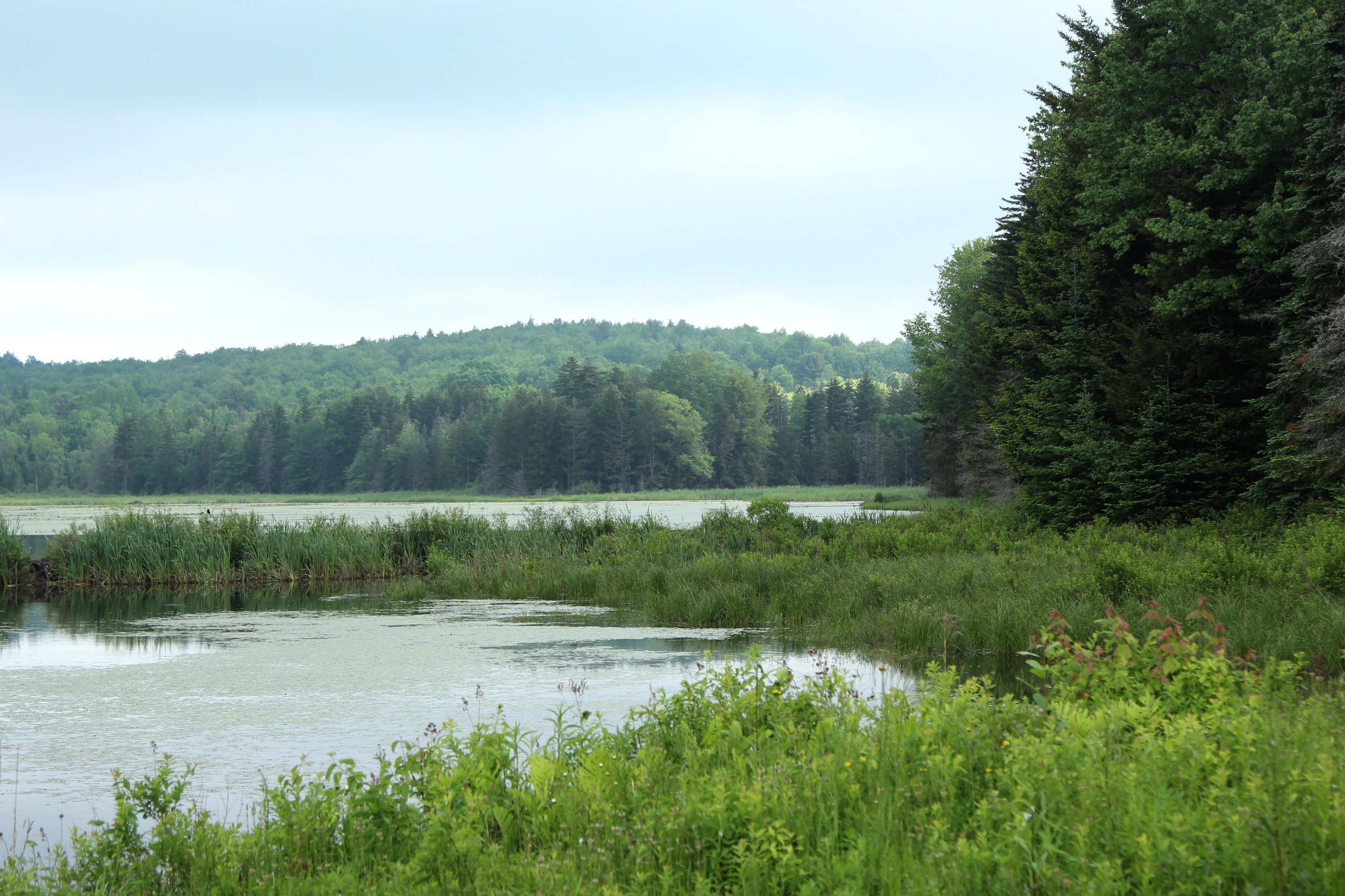
Title image is of a marsh in Jefferson, New York, courtesy of Tyler A. McNeil via Wikimedia Commons
Take Action!
Keep a Lake a Lake.
